2008 : North at Luckington Cross
Introduction
The photograph on this page of 2008 : North at Luckington Cross by Maurice Pullin as part of the Geograph project.
The Geograph project started in 2005 with the aim of publishing, organising and preserving representative images for every square kilometre of Great Britain, Ireland and the Isle of Man.

There are currently over 7.5m images from over 14,400 individuals and you can help contribute to the project by visiting https://www.geograph.org.uk
2008 : North at Luckington Cross
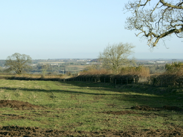
Image: © Maurice Pullin Taken: 25 Nov 2008
Hoare's Lane, heading down to Kilmersdon, is behind the field hedge to the right. The higher parts of Radstock are at the top of the hills further over.
Images are licensed for reuse under creativecommons.org/licenses/by-sa/2.0
Image Location
Latitude
51.254912
Longitude
-2.438718