Path from Springfield Park to Chester Road
Introduction
The photograph on this page of Path from Springfield Park to Chester Road by P L Chadwick as part of the Geograph project.
The Geograph project started in 2005 with the aim of publishing, organising and preserving representative images for every square kilometre of Great Britain, Ireland and the Isle of Man.

There are currently over 7.5m images from over 14,400 individuals and you can help contribute to the project by visiting https://www.geograph.org.uk
Path from Springfield Park to Chester Road
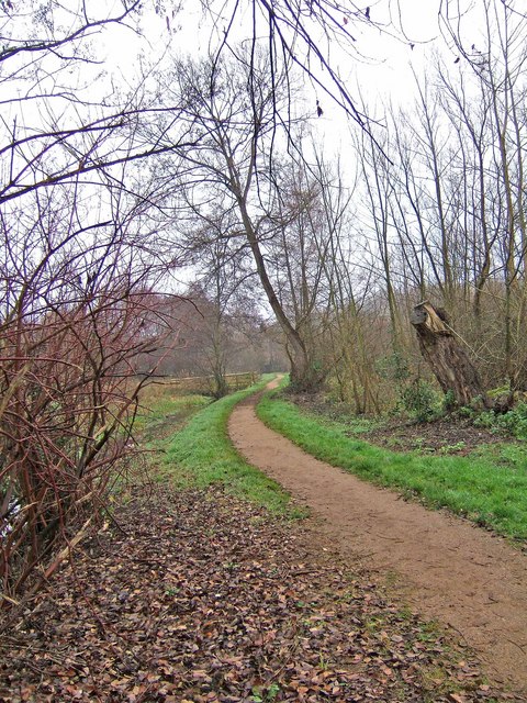
Image: © P L Chadwick Taken: 28 Nov 2008
This public footpath in Springfield Park leads to Chester Road near its junction with Sion Hill.
Images are licensed for reuse under creativecommons.org/licenses/by-sa/2.0
Image Location
Latitude
52.398599
Longitude
-2.24084