The Robin Hood
Introduction
The photograph on this page of The Robin Hood by Martin Addison as part of the Geograph project.
The Geograph project started in 2005 with the aim of publishing, organising and preserving representative images for every square kilometre of Great Britain, Ireland and the Isle of Man.

There are currently over 7.5m images from over 14,400 individuals and you can help contribute to the project by visiting https://www.geograph.org.uk
The Robin Hood
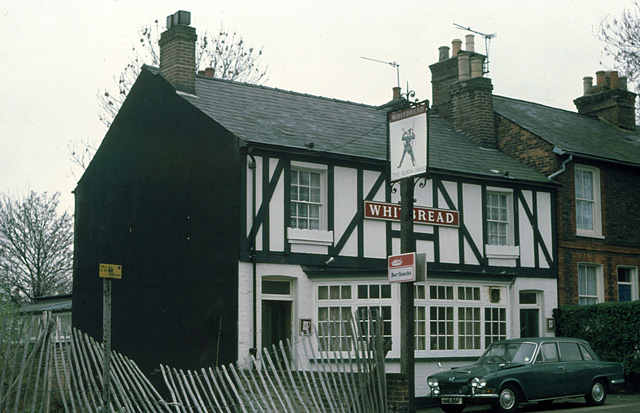
Image: © Martin Addison Taken: Unknown
This Whitbread house on Victoria Street is now a free house. The pub sign has been repainted and trestle tables have replaced the car on the pavement. The adjacent derelict land has been built on since this photo was taken.
Images are licensed for reuse under creativecommons.org/licenses/by-sa/2.0
Image Location
Latitude
51.750371
Longitude
-0.33057