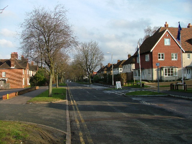
Neville's Road - AKA Exhibition Road
Introduction
The photograph on this page of Neville's Road - AKA Exhibition Road by Robin Hall as part of the Geograph project.
The Geograph project started in 2005 with the aim of publishing, organising and preserving representative images for every square kilometre of Great Britain, Ireland and the Isle of Man.
There are currently over 7.5m images from over 14,400 individuals and you can help contribute to the project by visiting https://www.geograph.org.uk

Image: © Robin Hall Taken: 15 Jan 2006
So called because at the outset architects were invited to submit designs for houses and innovative techniques for the town. As a result houses here are built in the usual fashion and some on piles sunk into the ground, some from concrete and some with steel laths under the plaster. One resident that I know of in this street has had to shore his house up to prevent it descending towards the railway line (and then presumably off to Cambridge on the front of a train!)
Image Location


