Brockham Green and the Royal Oak
Introduction
The photograph on this page of Brockham Green and the Royal Oak by Martyn Davies as part of the Geograph project.
The Geograph project started in 2005 with the aim of publishing, organising and preserving representative images for every square kilometre of Great Britain, Ireland and the Isle of Man.

There are currently over 7.5m images from over 14,400 individuals and you can help contribute to the project by visiting https://www.geograph.org.uk
Brockham Green and the Royal Oak
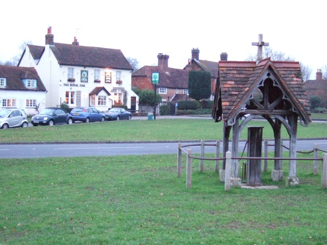
Image: © Martyn Davies Taken: 15 Jan 2006
View of the well on Brockham Green, with the Royal Oak pub beyond, not to be confused with the other pub ( http://www.geograph.org.uk/photo/103970 ) only 5 grid squares away.
Images are licensed for reuse under creativecommons.org/licenses/by-sa/2.0
Image Location


Leaflet Map data © OpenStreetMap
Latitude
51.23396
Longitude
-0.288307