Path across Braunstone Park
Introduction
The photograph on this page of Path across Braunstone Park by Mat Fascione as part of the Geograph project.
The Geograph project started in 2005 with the aim of publishing, organising and preserving representative images for every square kilometre of Great Britain, Ireland and the Isle of Man.

There are currently over 7.5m images from over 14,400 individuals and you can help contribute to the project by visiting https://www.geograph.org.uk
Path across Braunstone Park
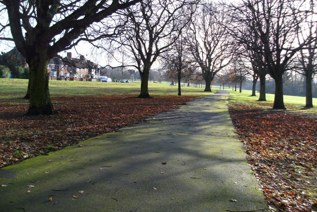
Image: © Mat Fascione Taken: 28 Nov 2008
This is at the north end of the park close to Hinckley Road.
Images are licensed for reuse under creativecommons.org/licenses/by-sa/2.0
Image Location
Latitude
52.630198
Longitude
-1.180262