Land Street
Introduction
The photograph on this page of Land Street by Anne Burgess as part of the Geograph project.
The Geograph project started in 2005 with the aim of publishing, organising and preserving representative images for every square kilometre of Great Britain, Ireland and the Isle of Man.

There are currently over 7.5m images from over 14,400 individuals and you can help contribute to the project by visiting https://www.geograph.org.uk
Land Street
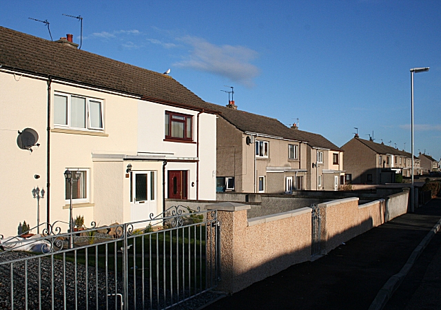
Image: © Anne Burgess Taken: 28 Nov 2008
Post-war council housing, some now privately owned, hence the disparities in the appearance of individual houses.
Images are licensed for reuse under creativecommons.org/licenses/by-sa/2.0
Image Location
Latitude
57.634465
Longitude
-3.311997