The entrance of St Ronan's (housing estate)
Introduction
The photograph on this page of The entrance of St Ronan's (housing estate) by Lairich Rig as part of the Geograph project.
The Geograph project started in 2005 with the aim of publishing, organising and preserving representative images for every square kilometre of Great Britain, Ireland and the Isle of Man.

There are currently over 7.5m images from over 14,400 individuals and you can help contribute to the project by visiting https://www.geograph.org.uk
The entrance of St Ronan's (housing estate)
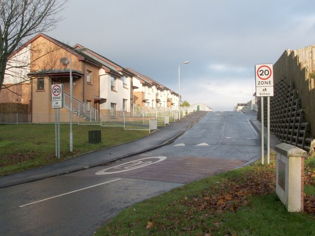
Image: © Lairich Rig Taken: 28 Nov 2008
This housing estate in Nobleston, seen here from its entrance, is called St Ronan's, and was built in 2006. However, St Ronan's Primary School, a few hundred metres to the north, pre-dates this estate.
Images are licensed for reuse under creativecommons.org/licenses/by-sa/2.0
Image Location
Latitude
55.975502
Longitude
-4.562741