End of Common Road
Introduction
The photograph on this page of End of Common Road by David Anstiss as part of the Geograph project.
The Geograph project started in 2005 with the aim of publishing, organising and preserving representative images for every square kilometre of Great Britain, Ireland and the Isle of Man.

There are currently over 7.5m images from over 14,400 individuals and you can help contribute to the project by visiting https://www.geograph.org.uk
End of Common Road
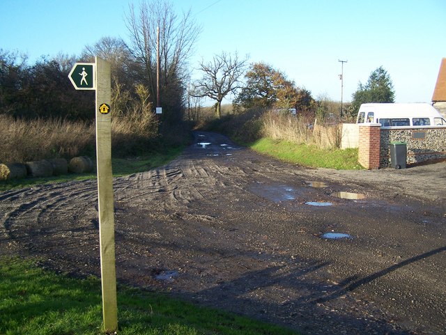
Image: © David Anstiss Taken: 25 Nov 2008
Near Burham Hill Farm, road becomes track called Hill Road to Keeper's Cottage. Note; Sign in background says 'Access to Gamekeeper's cottage'. Also part of the North Downs Way, from Blue Bell Hill to Borstal. Footpath heading left in foreground goes down through Wouldham Common to Rochester Road in Scarborough Village.
Images are licensed for reuse under creativecommons.org/licenses/by-sa/2.0
Image Location


Leaflet Map data © OpenStreetMap
Latitude
51.340284
Longitude
0.483239