Bridleway to Blue Bell Hill
Introduction
The photograph on this page of Bridleway to Blue Bell Hill by David Anstiss as part of the Geograph project.
The Geograph project started in 2005 with the aim of publishing, organising and preserving representative images for every square kilometre of Great Britain, Ireland and the Isle of Man.

There are currently over 7.5m images from over 14,400 individuals and you can help contribute to the project by visiting https://www.geograph.org.uk
Bridleway to Blue Bell Hill
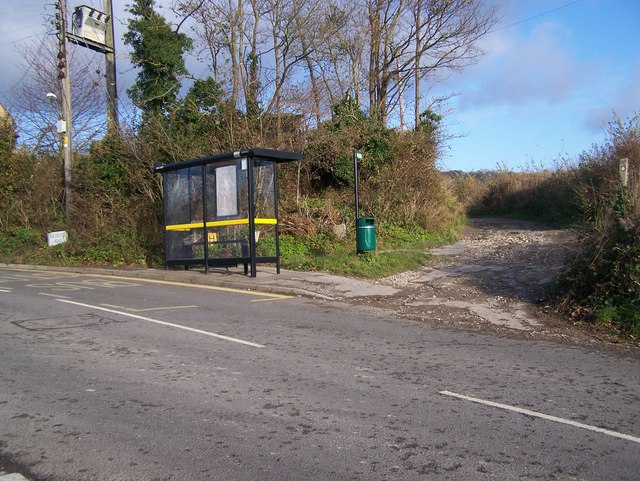
Image: © David Anstiss Taken: 25 Nov 2008
From Rochester Road, Burham. Opposite Court Road. Goes past Appledore Cottage and disused Quarry. Bus Shelter surprisingly undamaged by vandals.
Images are licensed for reuse under creativecommons.org/licenses/by-sa/2.0
Image Location


Leaflet Map data © OpenStreetMap
Latitude
51.326107
Longitude
0.485918