Bend in the Road
Introduction
The photograph on this page of Bend in the Road by Simon Carey as part of the Geograph project.
The Geograph project started in 2005 with the aim of publishing, organising and preserving representative images for every square kilometre of Great Britain, Ireland and the Isle of Man.

There are currently over 7.5m images from over 14,400 individuals and you can help contribute to the project by visiting https://www.geograph.org.uk
Bend in the Road
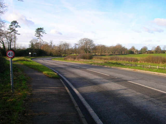
Image: © Simon Carey Taken: 22 Nov 2008
Most likely to have been caused by the meeting of parish boundaries at the tip of the bend. Here Partridge Green Road, Shermanbury becomes Shermanbury Road, Partridge Green at the entrance to Shermanbury Grange, though the latter is officially in West Grinstead parish. The road was already in existence during the 17th century and is the modern day B2116.
Images are licensed for reuse under creativecommons.org/licenses/by-sa/2.0
Image Location
Latitude
50.960443
Longitude
-0.291542