Conway House Demolition
Introduction
The photograph on this page of Conway House Demolition by Andy Jamieson as part of the Geograph project.
The Geograph project started in 2005 with the aim of publishing, organising and preserving representative images for every square kilometre of Great Britain, Ireland and the Isle of Man.

There are currently over 7.5m images from over 14,400 individuals and you can help contribute to the project by visiting https://www.geograph.org.uk
Conway House Demolition
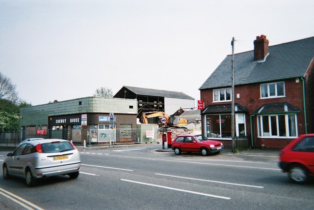
Image: © Andy Jamieson Taken: Unknown
To make way for flats now built and moved into see http://www.geograph.org.uk/photo/1063133
Images are licensed for reuse under creativecommons.org/licenses/by-sa/2.0
Image Location
Latitude
52.89938
Longitude
-1.267067