Cornerhouse
Introduction
The photograph on this page of Cornerhouse by Simon Carey as part of the Geograph project.
The Geograph project started in 2005 with the aim of publishing, organising and preserving representative images for every square kilometre of Great Britain, Ireland and the Isle of Man.

There are currently over 7.5m images from over 14,400 individuals and you can help contribute to the project by visiting https://www.geograph.org.uk
Cornerhouse
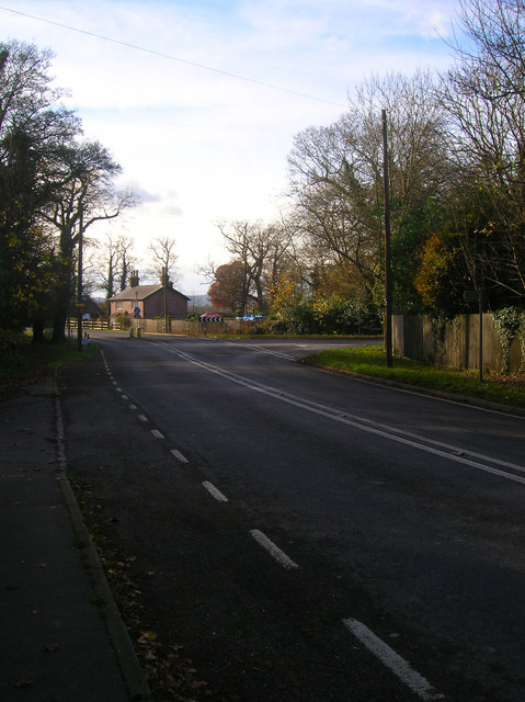
Image: © Simon Carey Taken: 22 Nov 2008
The area of Shermanbury named after a former farm that was located on the corner of the Henfield-Horsham and Partridge Green roads. The former is the modern day A281, the latter the B2116.
Images are licensed for reuse under creativecommons.org/licenses/by-sa/2.0
Image Location
Latitude
50.959816
Longitude
-0.285584