The Burn of Wartle
Introduction
The photograph on this page of The Burn of Wartle by Anne Burgess as part of the Geograph project.
The Geograph project started in 2005 with the aim of publishing, organising and preserving representative images for every square kilometre of Great Britain, Ireland and the Isle of Man.

There are currently over 7.5m images from over 14,400 individuals and you can help contribute to the project by visiting https://www.geograph.org.uk
The Burn of Wartle
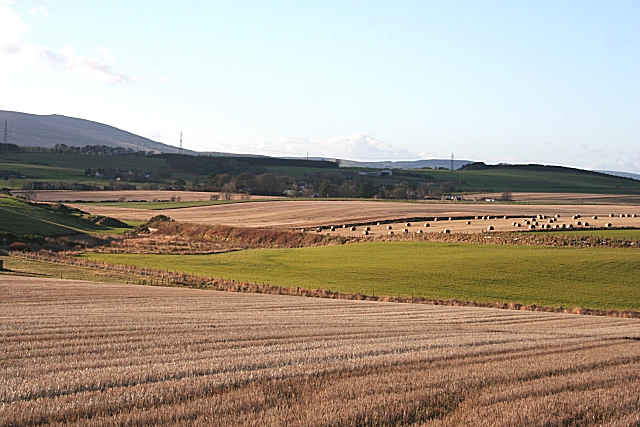
Image: © Anne Burgess Taken: 27 Nov 2008
The low ground to the left of the field with bales is the course of the burn, which widens here through a boggy patch. The embankment is the part of the route of the long-disused railway line which once branched off the Aberdeen to Inverness line at Pitcaple for Banff.
Images are licensed for reuse under creativecommons.org/licenses/by-sa/2.0
Image Location
Latitude
57.349413
Longitude
-2.455958