The Burn of Wartle
Introduction
The photograph on this page of The Burn of Wartle by Anne Burgess as part of the Geograph project.
The Geograph project started in 2005 with the aim of publishing, organising and preserving representative images for every square kilometre of Great Britain, Ireland and the Isle of Man.

There are currently over 7.5m images from over 14,400 individuals and you can help contribute to the project by visiting https://www.geograph.org.uk
The Burn of Wartle
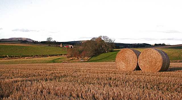
Image: © Anne Burgess Taken: 27 Nov 2008
The burn flows in the dip in the ground to the left. The prominent farm beyond is Windyhills.
Images are licensed for reuse under creativecommons.org/licenses/by-sa/2.0
Image Location
Latitude
57.352732
Longitude
-2.457328