Wester Newbigging
Introduction
The photograph on this page of Wester Newbigging by Anne Burgess as part of the Geograph project.
The Geograph project started in 2005 with the aim of publishing, organising and preserving representative images for every square kilometre of Great Britain, Ireland and the Isle of Man.

There are currently over 7.5m images from over 14,400 individuals and you can help contribute to the project by visiting https://www.geograph.org.uk
Wester Newbigging
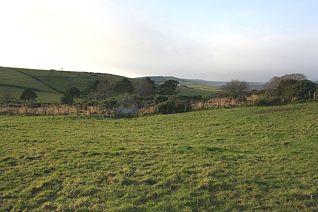
Image: © Anne Burgess Taken: 27 Nov 2008
This innocuous-looking square proved to be one of the most difficult I have ever tackled. The access road on the 1:50,000 map no longer exists. The track which does exist has nowhere to turn until Wester Mosshead, and it was a quagmire with hidden boulders lying in wait for the underside of the car. So this view, looking down towards the Burn of Birkenhill, is likely to remain forever the sole image in its square. Oh, and I only escaped the approaching rain by seconds.
Images are licensed for reuse under creativecommons.org/licenses/by-sa/2.0
Image Location
Latitude
57.417198
Longitude
-2.775612