Aden Terrace, London N16
Introduction
The photograph on this page of Aden Terrace, London N16 by Chris Sitton as part of the Geograph project.
The Geograph project started in 2005 with the aim of publishing, organising and preserving representative images for every square kilometre of Great Britain, Ireland and the Isle of Man.

There are currently over 7.5m images from over 14,400 individuals and you can help contribute to the project by visiting https://www.geograph.org.uk
Aden Terrace, London N16
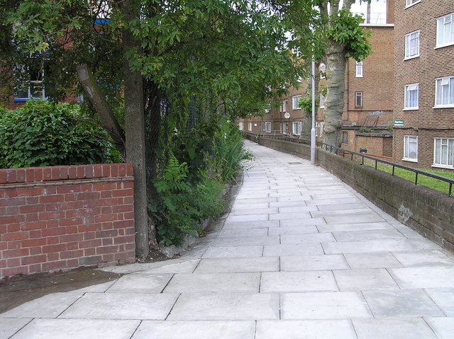
Image: © Chris Sitton Taken: 17 Jun 2007
A view from the south-western entrance to Aden Terrace from Green Lanes. The council estate on the right took the place of sixteen Georgian style houses which over-looked the New River until c1953. The Council flats shown, erected in 1956 following demolition of the Georgian style houses, over-look allotments.
Images are licensed for reuse under creativecommons.org/licenses/by-sa/2.0
Image Location
Latitude
51.556499
Longitude
-0.088836