Footpath to Uplyme Mill
Introduction
The photograph on this page of Footpath to Uplyme Mill by Peter Holmes as part of the Geograph project.
The Geograph project started in 2005 with the aim of publishing, organising and preserving representative images for every square kilometre of Great Britain, Ireland and the Isle of Man.

There are currently over 7.5m images from over 14,400 individuals and you can help contribute to the project by visiting https://www.geograph.org.uk
Footpath to Uplyme Mill
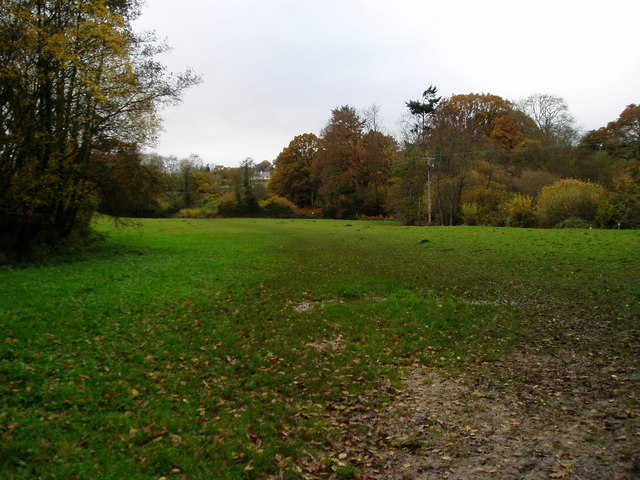
Image: © Peter Holmes Taken: 14 Nov 2008
Looking towards the point where the routes of the East Devon Way, Wessex Ridgeway and Liberty Trail diverge. The East Devon Way continues towards Uplyme and the other routes proceed in the direction of Rhode Barton.
Images are licensed for reuse under creativecommons.org/licenses/by-sa/2.0
Image Location
Latitude
50.734666
Longitude
-2.945386