St Ives End Lane, Ashley Heath
Introduction
The photograph on this page of St Ives End Lane, Ashley Heath by Nigel Mykura as part of the Geograph project.
The Geograph project started in 2005 with the aim of publishing, organising and preserving representative images for every square kilometre of Great Britain, Ireland and the Isle of Man.

There are currently over 7.5m images from over 14,400 individuals and you can help contribute to the project by visiting https://www.geograph.org.uk
St Ives End Lane, Ashley Heath
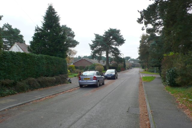
Image: © Nigel Mykura Taken: 26 Nov 2008
St Ives End Lane runs from Sandy Lane south to the A31 the Ringwood Rd. This is the view S from close to the NW corner of the square.
Images are licensed for reuse under creativecommons.org/licenses/by-sa/2.0
Image Location
Latitude
50.834778
Longitude
-1.829828