Tilt Road
Introduction
The photograph on this page of Tilt Road by Ian Capper as part of the Geograph project.
The Geograph project started in 2005 with the aim of publishing, organising and preserving representative images for every square kilometre of Great Britain, Ireland and the Isle of Man.

There are currently over 7.5m images from over 14,400 individuals and you can help contribute to the project by visiting https://www.geograph.org.uk
Tilt Road
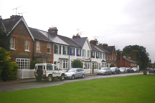
Image: © Ian Capper Taken: 9 Sep 2008
View of the cottages at the west end of Tilt Road, part of The Tilt conservation area. At the far end of the row can be seen The Old Fire Station (see Image).
Images are licensed for reuse under creativecommons.org/licenses/by-sa/2.0
Image Location
Latitude
51.325398
Longitude
-0.402281