Old bridge at Ratho Station
Introduction
The photograph on this page of Old bridge at Ratho Station by M J Richardson as part of the Geograph project.
The Geograph project started in 2005 with the aim of publishing, organising and preserving representative images for every square kilometre of Great Britain, Ireland and the Isle of Man.

There are currently over 7.5m images from over 14,400 individuals and you can help contribute to the project by visiting https://www.geograph.org.uk
Old bridge at Ratho Station
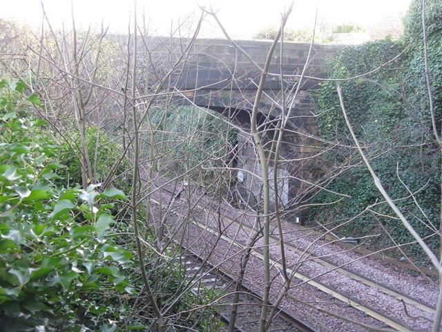
Image: © M J Richardson Taken: 26 Nov 2008
The bridge that carried the Ratho to Ratho Bridge road over the railway. Now disused as a road and road bridge, but still used as a footbridge. Thanks to Simon Sweeney, who wrote to say that, once closed to traffic, this old road was known as the 'curly wurly' or 'bendy wendy' to the young local skate boarders who used the bridge and winding road on the hill.
Images are licensed for reuse under creativecommons.org/licenses/by-sa/2.0
Image Location
Latitude
55.934808
Longitude
-3.391471