The Clarendon Pub, Gillingham
Introduction
The photograph on this page of The Clarendon Pub, Gillingham by David Anstiss as part of the Geograph project.
The Geograph project started in 2005 with the aim of publishing, organising and preserving representative images for every square kilometre of Great Britain, Ireland and the Isle of Man.

There are currently over 7.5m images from over 14,400 individuals and you can help contribute to the project by visiting https://www.geograph.org.uk
The Clarendon Pub, Gillingham
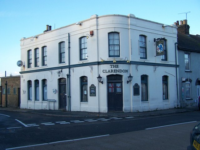
Image: © David Anstiss Taken: 24 Nov 2008
On junction of Church Street and Church Path. Church Path is also part of the Saxon Shore Way (long distance path), from the Strand to Chatham. Signposted at end of road.
Images are licensed for reuse under creativecommons.org/licenses/by-sa/2.0
Image Location
Latitude
51.390522
Longitude
0.560133