Steelfields Works
Introduction
The photograph on this page of Steelfields Works by David Anstiss as part of the Geograph project.
The Geograph project started in 2005 with the aim of publishing, organising and preserving representative images for every square kilometre of Great Britain, Ireland and the Isle of Man.

There are currently over 7.5m images from over 14,400 individuals and you can help contribute to the project by visiting https://www.geograph.org.uk
Steelfields Works
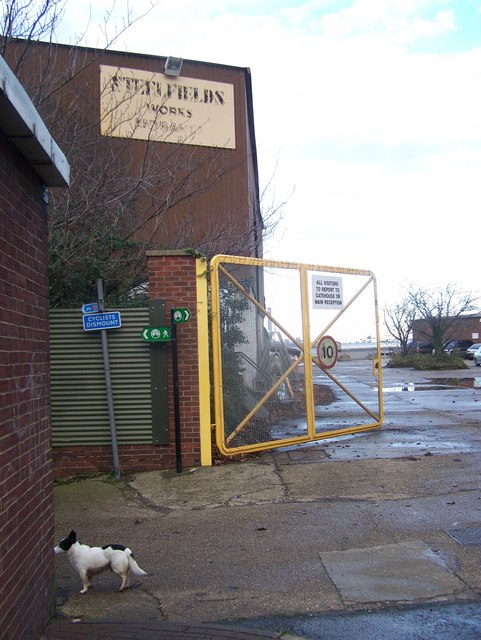
Image: © David Anstiss Taken: 24 Nov 2008
At end of Owen's Way Road. These factory buildings block the walker/ cyclist from walking along the River Medway when walking on the Saxon Shore Way (long distance footpath), heading left to The Strand from Eastcourt Meadows, within the Riverside Country Park.
Images are licensed for reuse under creativecommons.org/licenses/by-sa/2.0
Image Location
Latitude
51.392137
Longitude
0.572586