The Plough and Chequers Pub, Gillingham
Introduction
The photograph on this page of The Plough and Chequers Pub, Gillingham by David Anstiss as part of the Geograph project.
The Geograph project started in 2005 with the aim of publishing, organising and preserving representative images for every square kilometre of Great Britain, Ireland and the Isle of Man.

There are currently over 7.5m images from over 14,400 individuals and you can help contribute to the project by visiting https://www.geograph.org.uk
The Plough and Chequers Pub, Gillingham
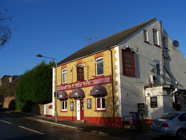
Image: © David Anstiss Taken: 24 Nov 2008
On Dane's Hill Road. Dane's Hill road used to connect to road leading to Chatham. But after the dual carriageway and Gillingham Northern link road A289 up to A2 was built. Dane's Hill road was closed off, now only accessed by roundabout on A289.
Images are licensed for reuse under creativecommons.org/licenses/by-sa/2.0
Image Location
Latitude
51.390207
Longitude
0.57449