Below Lan Fach
Introduction
The photograph on this page of Below Lan Fach by Graham Horn as part of the Geograph project.
The Geograph project started in 2005 with the aim of publishing, organising and preserving representative images for every square kilometre of Great Britain, Ireland and the Isle of Man.

There are currently over 7.5m images from over 14,400 individuals and you can help contribute to the project by visiting https://www.geograph.org.uk
Below Lan Fach
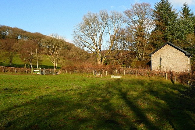
Image: © Graham Horn Taken: 25 Nov 2008
Adjacent to the B4358 opposite Bryn-llwyd. The pastures rise towards the woodland of Lan Fach.
Images are licensed for reuse under creativecommons.org/licenses/by-sa/2.0
Image Location
Latitude
52.176367
Longitude
-3.524952