River Medlock
Introduction
The photograph on this page of River Medlock by Keith Williamson as part of the Geograph project.
The Geograph project started in 2005 with the aim of publishing, organising and preserving representative images for every square kilometre of Great Britain, Ireland and the Isle of Man.

There are currently over 7.5m images from over 14,400 individuals and you can help contribute to the project by visiting https://www.geograph.org.uk
River Medlock
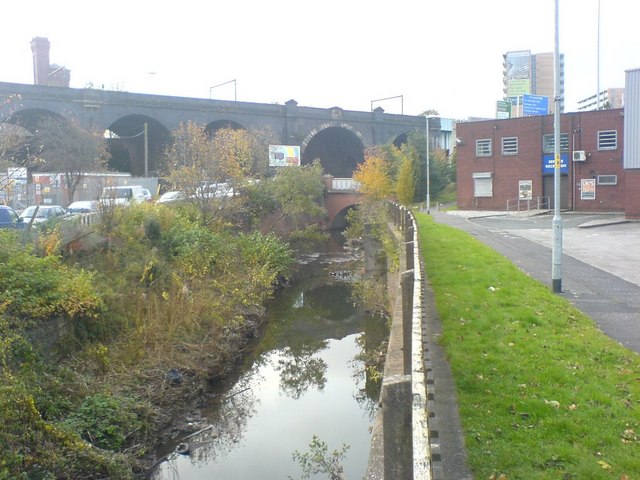
Image: © Keith Williamson Taken: 6 Nov 2008
The River Medlock rises in Oldham, to the north east of Manchester and flows through east Manchester into the city centre. Within the city much of its course is culverted under buildings etc., the river only briefly appearing where it flows below bridges carrying the roads and railways of the city. Pictured here is part of a lengthy exposed stretch of the river as it flows alongside Potato Wharf, Castlefield (on the left bank) and the New Elm Road industrial area (to the right). In the distance the river flows under the Dawson Street road bridge and then adds its waters to the River Irwell.
Images are licensed for reuse under creativecommons.org/licenses/by-sa/2.0
Image Location
Latitude
53.475385
Longitude
-2.260309