Buildings north of Magdalen Street, Exeter
Introduction
The photograph on this page of Buildings north of Magdalen Street, Exeter by Derek Harper as part of the Geograph project.
The Geograph project started in 2005 with the aim of publishing, organising and preserving representative images for every square kilometre of Great Britain, Ireland and the Isle of Man.

There are currently over 7.5m images from over 14,400 individuals and you can help contribute to the project by visiting https://www.geograph.org.uk
Buildings north of Magdalen Street, Exeter
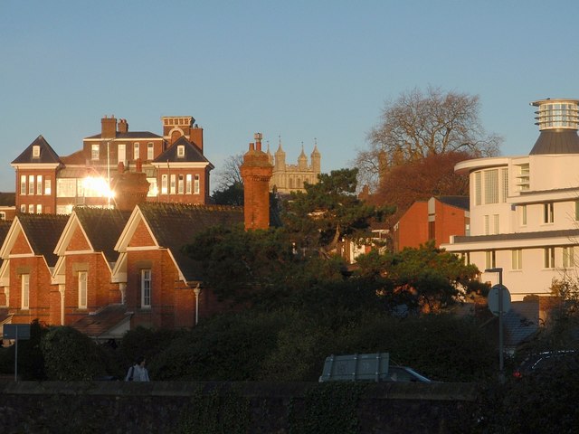
Image: © Derek Harper Taken: 19 Nov 2008
This is quite a similar view to Image, but taken from Fairpark Road. Similarly, Exeter Combined Court Centre is on the right, the south tower of the cathedral tower is in the centre, and on the left is the Halford wing of Dean Clarke House. Nearer at hand are almshouses between Magdalen Street and Pavilion Place, with tall brick chimneys.
Images are licensed for reuse under creativecommons.org/licenses/by-sa/2.0
Image Location
Latitude
50.720703
Longitude
-3.5248