Old Mill Street, Rochdale
Introduction
The photograph on this page of Old Mill Street, Rochdale by michael ely as part of the Geograph project.
The Geograph project started in 2005 with the aim of publishing, organising and preserving representative images for every square kilometre of Great Britain, Ireland and the Isle of Man.

There are currently over 7.5m images from over 14,400 individuals and you can help contribute to the project by visiting https://www.geograph.org.uk
Old Mill Street, Rochdale
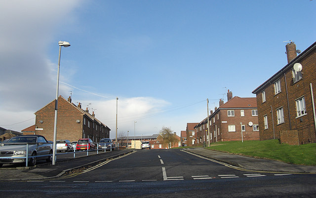
Image: © michael ely Taken: 24 Nov 2008
Social housing very close to Rochdale's town centre. Looking northwest from the junction with High Street, a road that runs parallel with St Mary's Gate.
Images are licensed for reuse under creativecommons.org/licenses/by-sa/2.0
Image Location
Latitude
53.620457
Longitude
-2.157643