Hadley Road
Introduction
The photograph on this page of Hadley Road by Martin Addison as part of the Geograph project.
The Geograph project started in 2005 with the aim of publishing, organising and preserving representative images for every square kilometre of Great Britain, Ireland and the Isle of Man.

There are currently over 7.5m images from over 14,400 individuals and you can help contribute to the project by visiting https://www.geograph.org.uk
Hadley Road
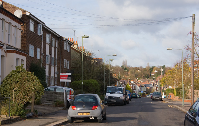
Image: © Martin Addison Taken: 21 Nov 2008
Seen from The Bulwer Road end. The road dips down to meet Potters Road before climbing to Hadley Common, the trees of which are visible in the distance.
Images are licensed for reuse under creativecommons.org/licenses/by-sa/2.0
Image Location
Latitude
51.651323
Longitude
-0.182138