Wind power
Introduction
The photograph on this page of Wind power by Bill Nicholls as part of the Geograph project.
The Geograph project started in 2005 with the aim of publishing, organising and preserving representative images for every square kilometre of Great Britain, Ireland and the Isle of Man.

There are currently over 7.5m images from over 14,400 individuals and you can help contribute to the project by visiting https://www.geograph.org.uk
Wind power
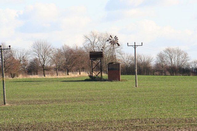
Image: © Bill Nicholls Taken: 22 Nov 2008
Using wind power is not new as can be seen from this old pumping station, though as you can see it's out of action now.
Images are licensed for reuse under creativecommons.org/licenses/by-sa/2.0
Image Location
Latitude
51.599444
Longitude
-1.211509