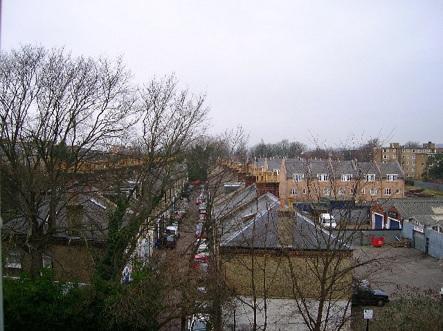
Cambridge Grove, Hove
Introduction
The photograph on this page of Cambridge Grove, Hove by Simon Carey as part of the Geograph project.
The Geograph project started in 2005 with the aim of publishing, organising and preserving representative images for every square kilometre of Great Britain, Ireland and the Isle of Man.
There are currently over 7.5m images from over 14,400 individuals and you can help contribute to the project by visiting https://www.geograph.org.uk

Image: © Simon Carey Taken: 14 Jan 2006
Cambridge Grove is very reminiscent of the mews like streets of Kensington, a small mews that runs parallel with Cromwell Road (B2120) and the railway between Wilbury Villas and The Drive (B2185). All the houses are built on top of garages. The houses to the right form Cambridge Mews erected four years ago on the site of a former parcel depot. The light industrial units in the foreground to the right are part of the front view of Image] one of the first set up in Britain. This view looks west and was taken from my flat. On a clearer day the South Downs can be seen in the distance.
Image Location


