Thurlaston Playing Field
Introduction
The photograph on this page of Thurlaston Playing Field by Jonathan Billinger as part of the Geograph project.
The Geograph project started in 2005 with the aim of publishing, organising and preserving representative images for every square kilometre of Great Britain, Ireland and the Isle of Man.

There are currently over 7.5m images from over 14,400 individuals and you can help contribute to the project by visiting https://www.geograph.org.uk
Thurlaston Playing Field
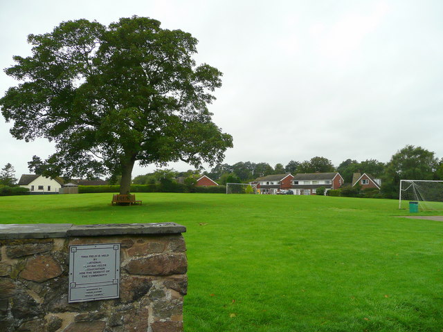
Image: © Jonathan Billinger Taken: 4 Sep 2008
To the west of the church, the land is owned by the National Playing Fields Association.
Images are licensed for reuse under creativecommons.org/licenses/by-sa/2.0
Image Location
Latitude
52.58704
Longitude
-1.261364