Great Western Road, Westbourne Park
Introduction
The photograph on this page of Great Western Road, Westbourne Park by Stephen McKay as part of the Geograph project.
The Geograph project started in 2005 with the aim of publishing, organising and preserving representative images for every square kilometre of Great Britain, Ireland and the Isle of Man.

There are currently over 7.5m images from over 14,400 individuals and you can help contribute to the project by visiting https://www.geograph.org.uk
Great Western Road, Westbourne Park
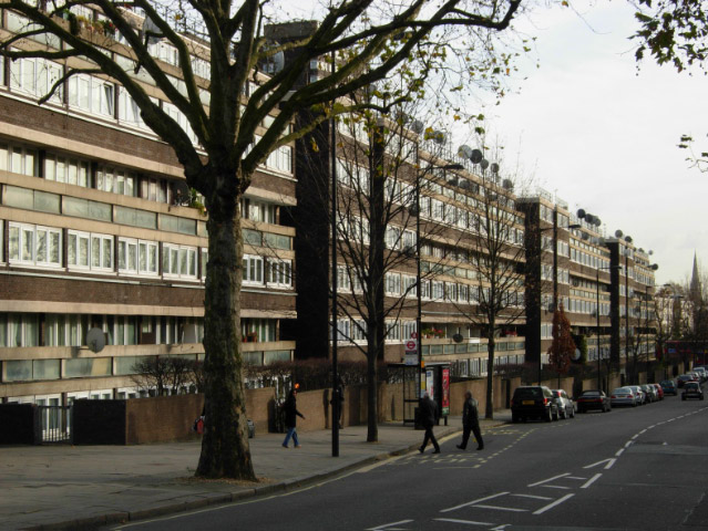
Image: © Stephen McKay Taken: 21 Nov 2008
Seen from the junction with Tavistock Road, the eastern side of Great Western Road is lined with blocks belonging to the Brunel Estate, the first of which on the left is Derrycombe House.
Images are licensed for reuse under creativecommons.org/licenses/by-sa/2.0
Image Location
Latitude
51.520209
Longitude
-0.199328