Porthgwarra Valley
Introduction
The photograph on this page of Porthgwarra Valley by Hugh Venables as part of the Geograph project.
The Geograph project started in 2005 with the aim of publishing, organising and preserving representative images for every square kilometre of Great Britain, Ireland and the Isle of Man.

There are currently over 7.5m images from over 14,400 individuals and you can help contribute to the project by visiting https://www.geograph.org.uk
Porthgwarra Valley
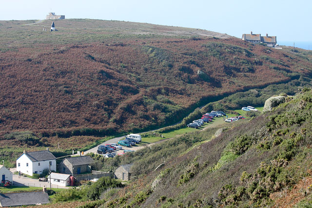
Image: © Hugh Venables Taken: 25 Sep 2008
A few houses, a pasty shop, some toilets, a car park, some coastguard cottages, the coastguard lookout and a navigation mark to help locate the Runnel Stone (or avoid locating it accidentally)
Images are licensed for reuse under creativecommons.org/licenses/by-sa/2.0
Image Location
Latitude
50.038062
Longitude
-5.672784