Flag wall Hill End Lane
Introduction
The photograph on this page of Flag wall Hill End Lane by Peter Worrell as part of the Geograph project.
The Geograph project started in 2005 with the aim of publishing, organising and preserving representative images for every square kilometre of Great Britain, Ireland and the Isle of Man.

There are currently over 7.5m images from over 14,400 individuals and you can help contribute to the project by visiting https://www.geograph.org.uk
Flag wall Hill End Lane
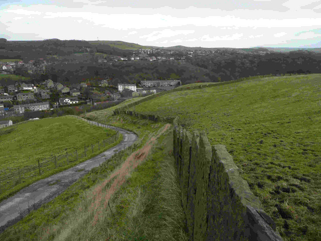
Image: © Peter Worrell Taken: 21 Nov 2008
A fine example of stone flag walling with iron cramps to hold the large stone flags together. This sort of walling was comparativly economical when the quarries in Rossendale were in operation in the 18th and 19th centuries
Images are licensed for reuse under creativecommons.org/licenses/by-sa/2.0
Image Location
Latitude
53.696026
Longitude
-2.270151