Ranscombe Farm and footpath junction
Introduction
The photograph on this page of Ranscombe Farm and footpath junction by David Anstiss as part of the Geograph project.
The Geograph project started in 2005 with the aim of publishing, organising and preserving representative images for every square kilometre of Great Britain, Ireland and the Isle of Man.

There are currently over 7.5m images from over 14,400 individuals and you can help contribute to the project by visiting https://www.geograph.org.uk
Ranscombe Farm and footpath junction
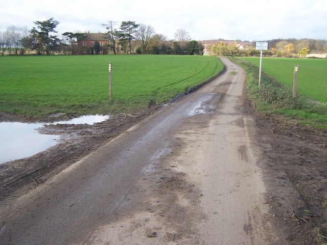
Image: © David Anstiss Taken: 20 Nov 2008
Two footpaths meet. The North Down Way (long distance footpath) comes from left, from Lower Bush and then turns down the farm track, towards the viewer. Then goes downhill past a small carpark on A228 Rochester Road. Other footpath from right comes from Strood across the M2 and CTRL. Ranscombe Farm is private land, hence sign in background.
Images are licensed for reuse under creativecommons.org/licenses/by-sa/2.0
Image Location
Latitude
51.382317
Longitude
0.460362