High Street, Sturminster Marshall
Introduction
The photograph on this page of High Street, Sturminster Marshall by Mike Faherty as part of the Geograph project.
The Geograph project started in 2005 with the aim of publishing, organising and preserving representative images for every square kilometre of Great Britain, Ireland and the Isle of Man.

There are currently over 7.5m images from over 14,400 individuals and you can help contribute to the project by visiting https://www.geograph.org.uk
High Street, Sturminster Marshall
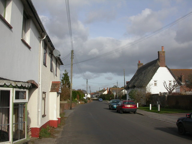
Image: © Mike Faherty Taken: 21 Nov 2008
Despite the tranquil scene above, the village seems to have a thriving social life: http://www.sturminstermarshall.co.uk/Organisations/Organisation_Directory.asp
Images are licensed for reuse under creativecommons.org/licenses/by-sa/2.0
Image Location
Latitude
50.797307
Longitude
-2.073547