River Winterborne, Sturminster Marshall
Introduction
The photograph on this page of River Winterborne, Sturminster Marshall by Mike Faherty as part of the Geograph project.
The Geograph project started in 2005 with the aim of publishing, organising and preserving representative images for every square kilometre of Great Britain, Ireland and the Isle of Man.

There are currently over 7.5m images from over 14,400 individuals and you can help contribute to the project by visiting https://www.geograph.org.uk
River Winterborne, Sturminster Marshall
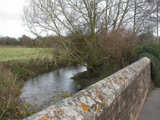
Image: © Mike Faherty Taken: 21 Nov 2008
Winterbornes, of which there are two in Dorset & one in Wiltshire, are rivers which often dry up in summer, and flood in winter, because of the underlying geology. Seen here from Magg's Bridge, shortly before flowing into the Stour. http://www.dorsetaonb.org.uk/text01.asp?PageId=343
Images are licensed for reuse under creativecommons.org/licenses/by-sa/2.0
Image Location
Latitude
50.797949
Longitude
-2.081338