Burn coming down to B8004
Introduction
The photograph on this page of Burn coming down to B8004 by Sarah McGuire as part of the Geograph project.
The Geograph project started in 2005 with the aim of publishing, organising and preserving representative images for every square kilometre of Great Britain, Ireland and the Isle of Man.

There are currently over 7.5m images from over 14,400 individuals and you can help contribute to the project by visiting https://www.geograph.org.uk
Burn coming down to B8004
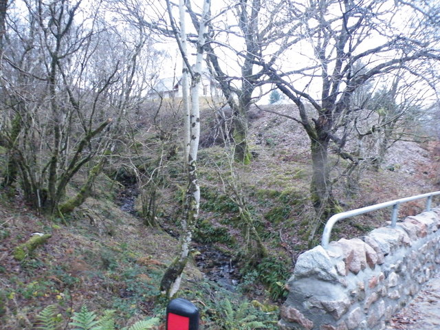
Image: © Sarah McGuire Taken: 20 Nov 2008
The bridge rampart was only on this side, the burn came out the other side well down hill
Images are licensed for reuse under creativecommons.org/licenses/by-sa/2.0
Image Location
Latitude
56.865887
Longitude
-5.072839