Haddon House
Introduction
The photograph on this page of Haddon House by Ian Capper as part of the Geograph project.
The Geograph project started in 2005 with the aim of publishing, organising and preserving representative images for every square kilometre of Great Britain, Ireland and the Isle of Man.

There are currently over 7.5m images from over 14,400 individuals and you can help contribute to the project by visiting https://www.geograph.org.uk
Haddon House
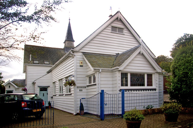
Image: © Ian Capper Taken: 12 Sep 2008
Former baptist chapel in Crown Road, converted to a house in the 1980s.
Images are licensed for reuse under creativecommons.org/licenses/by-sa/2.0
Image Location
Latitude
51.337321
Longitude
0.178982