Eastwards from Doniford.
Introduction
The photograph on this page of Eastwards from Doniford. by Barbara Cook as part of the Geograph project.
The Geograph project started in 2005 with the aim of publishing, organising and preserving representative images for every square kilometre of Great Britain, Ireland and the Isle of Man.

There are currently over 7.5m images from over 14,400 individuals and you can help contribute to the project by visiting https://www.geograph.org.uk
Eastwards from Doniford.
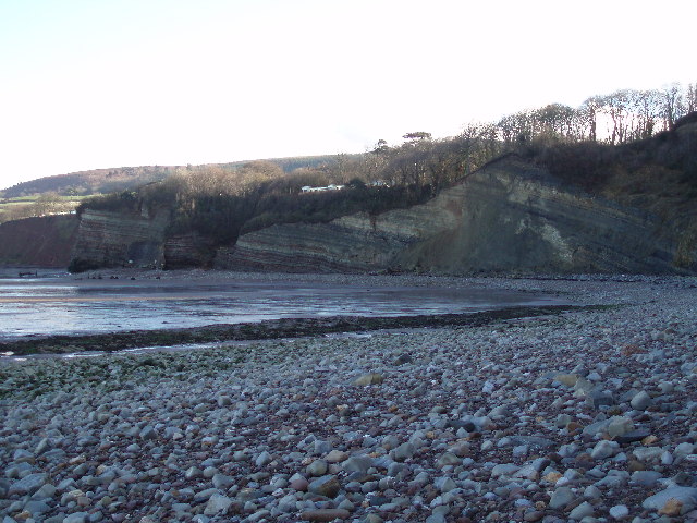
Image: © Barbara Cook Taken: 14 Jan 2006
The waterfall in the other photograph for this square plunges from the striped cliff face on the extreme left of the picture.
Images are licensed for reuse under creativecommons.org/licenses/by-sa/2.0
Image Location


Leaflet Map data © OpenStreetMap
Latitude
51.180086
Longitude
-3.283241