Hadrian's Way crosses Neptune Road, Low Walker
Introduction
The photograph on this page of Hadrian's Way crosses Neptune Road, Low Walker by Oliver Dixon as part of the Geograph project.
The Geograph project started in 2005 with the aim of publishing, organising and preserving representative images for every square kilometre of Great Britain, Ireland and the Isle of Man.

There are currently over 7.5m images from over 14,400 individuals and you can help contribute to the project by visiting https://www.geograph.org.uk
Hadrian's Way crosses Neptune Road, Low Walker
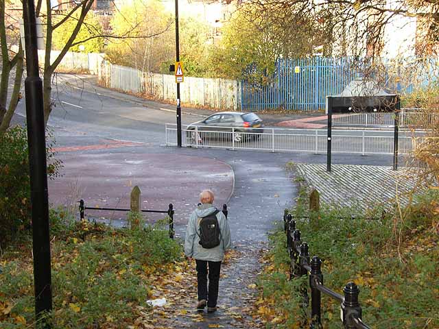
Image: © Oliver Dixon Taken: 18 Nov 2008
Hadrian's Way is the name given to the traffic-free route along the north bank of the Tyne between the western and eastern boundaries of the City of Newcastle. At its eastern end, the Way follows the course of a disused railway. The Way is followed by both Hadrian's Wall National Trail http://www.nationaltrail.co.uk/hadrianswall/ and by route 72 of the National Cycle Network (Hadrian's Cycleway http://www.cycle-routes.org/HADRIANSCYCLEWAY/ and the Tynemouth branch of the C2C Cycle Route http://www.c2c-guide.co.uk/ ); although just at this point, where a bridge over the road is missing, the cycleway takes a more circuitous route to avoid the steep drop to the road.
Images are licensed for reuse under creativecommons.org/licenses/by-sa/2.0
Image Location
Latitude
54.982681
Longitude
-1.537453