The Blue Pig Capewell Road
Introduction
The photograph on this page of The Blue Pig Capewell Road by Gordon Cragg as part of the Geograph project.
The Geograph project started in 2005 with the aim of publishing, organising and preserving representative images for every square kilometre of Great Britain, Ireland and the Isle of Man.

There are currently over 7.5m images from over 14,400 individuals and you can help contribute to the project by visiting https://www.geograph.org.uk
The Blue Pig Capewell Road
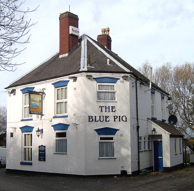
Image: © Gordon Cragg Taken: 20 Nov 2008
Formerly known as The Shropshire Arms, in spite of the Pub Sign, the name "Blue Pig" has nothing to do with farming but refers to the pig iron produced in the iron works that used to be nearby. Image http://ne-telford-pubs.fotopic.net/
Images are licensed for reuse under creativecommons.org/licenses/by-sa/2.0
Image Location
Latitude
52.707637
Longitude
-2.46381