Steps up from Hadrian's Way
Introduction
The photograph on this page of Steps up from Hadrian's Way by Oliver Dixon as part of the Geograph project.
The Geograph project started in 2005 with the aim of publishing, organising and preserving representative images for every square kilometre of Great Britain, Ireland and the Isle of Man.

There are currently over 7.5m images from over 14,400 individuals and you can help contribute to the project by visiting https://www.geograph.org.uk
Steps up from Hadrian's Way
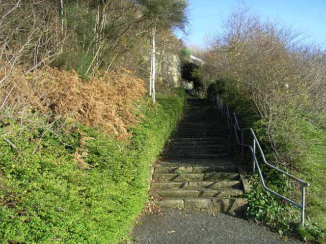
Image: © Oliver Dixon Taken: 18 Nov 2008
Hadrian's Way is a largely traffic-free route along the north side of the Tyne from western to eastern boundaries of the City of Newcastle-upon-Tyne. This flight of steps leads from Hadrian's Way where it follows a riverside promenade up to Evistones Gardens.
Images are licensed for reuse under creativecommons.org/licenses/by-sa/2.0
Image Location
Latitude
54.964354
Longitude
-1.563278