Walkers and joggers on Hadrian's Way west of St Anthony's Point
Introduction
The photograph on this page of Walkers and joggers on Hadrian's Way west of St Anthony's Point by Oliver Dixon as part of the Geograph project.
The Geograph project started in 2005 with the aim of publishing, organising and preserving representative images for every square kilometre of Great Britain, Ireland and the Isle of Man.

There are currently over 7.5m images from over 14,400 individuals and you can help contribute to the project by visiting https://www.geograph.org.uk
Walkers and joggers on Hadrian's Way west of St Anthony's Point
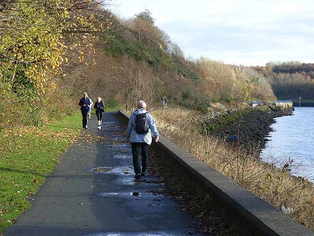
Image: © Oliver Dixon Taken: 18 Nov 2008
The River Tyne here flows through a rustic setting with well-wooded banks on either side. The promenade carries Hadrian's Way which is a largely traffic-free route along the north side of the Tyne from western to eastern boundaries of the City of Newcastle-upon-Tyne. The Way is followed by both Hadrian's Wall National Trail http://www.nationaltrail.co.uk/hadrianswall/ and by route 72 of the National Cycle Network (Hadrian's Cycleway http://www.cycle-routes.org/HADRIANSCYCLEWAY/and the Tynemouth branch of the C2C Cycle Route http://www.c2c-guide.co.uk/). The way is popular with walkers, joggers and cyclists.
Images are licensed for reuse under creativecommons.org/licenses/by-sa/2.0
Image Location
Latitude
54.962723
Longitude
-1.559548