Looking up the Poldice Valley at Todpool
Introduction
The photograph on this page of Looking up the Poldice Valley at Todpool by Rod Allday as part of the Geograph project.
The Geograph project started in 2005 with the aim of publishing, organising and preserving representative images for every square kilometre of Great Britain, Ireland and the Isle of Man.

There are currently over 7.5m images from over 14,400 individuals and you can help contribute to the project by visiting https://www.geograph.org.uk
Looking up the Poldice Valley at Todpool
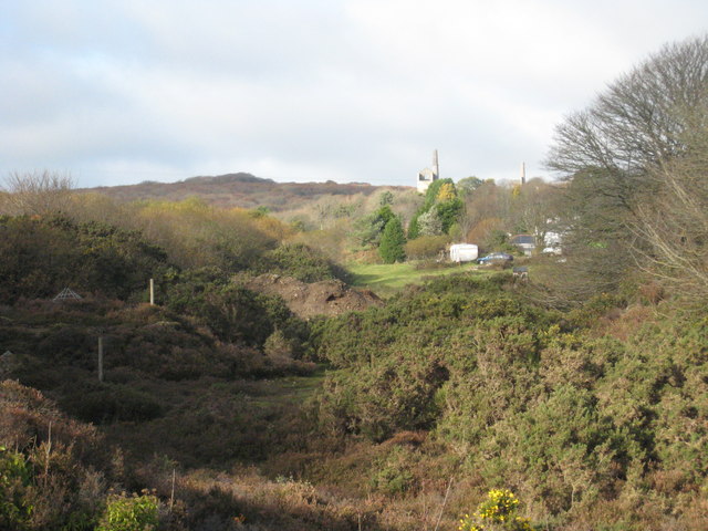
Image: © Rod Allday Taken: 19 Nov 2008
In the distance the engine houses at Killifreth can be seen. The wire cage on the left of the photo is protection of an open mineshaft.
Images are licensed for reuse under creativecommons.org/licenses/by-sa/2.0
Image Location
Latitude
50.244071
Longitude
-5.169832