St Pauls Parish Church Chacewater
Introduction
The photograph on this page of St Pauls Parish Church Chacewater by Rod Allday as part of the Geograph project.
The Geograph project started in 2005 with the aim of publishing, organising and preserving representative images for every square kilometre of Great Britain, Ireland and the Isle of Man.

There are currently over 7.5m images from over 14,400 individuals and you can help contribute to the project by visiting https://www.geograph.org.uk
St Pauls Parish Church Chacewater
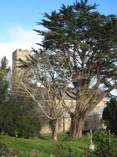
Image: © Rod Allday Taken: 19 Nov 2008
Partly obscured by a fine Monterey Cypress (Cupressus macrocarpa).
Images are licensed for reuse under creativecommons.org/licenses/by-sa/2.0
Image Location
Latitude
50.253885
Longitude
-5.156313