Where rivers meet...
Introduction
The photograph on this page of Where rivers meet... by John V Nicholls as part of the Geograph project.
The Geograph project started in 2005 with the aim of publishing, organising and preserving representative images for every square kilometre of Great Britain, Ireland and the Isle of Man.

There are currently over 7.5m images from over 14,400 individuals and you can help contribute to the project by visiting https://www.geograph.org.uk
Where rivers meet...
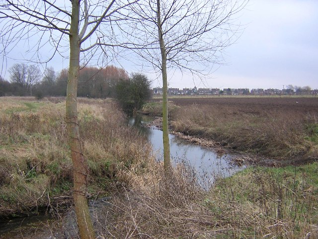
Image: © John V Nicholls Taken: 13 Jan 2006
The point where the River Wid (coming in from the right) joins the River Can. From here the Can runs through Chelmsford town and joins the River Chelmer.
Images are licensed for reuse under creativecommons.org/licenses/by-sa/2.0
Image Location


Leaflet Map data © OpenStreetMap
Latitude
51.73635
Longitude
0.440298