View taken up the lane between Watergate Cross and Hedge Cross.
Introduction
The photograph on this page of View taken up the lane between Watergate Cross and Hedge Cross. by M Hunter as part of the Geograph project.
The Geograph project started in 2005 with the aim of publishing, organising and preserving representative images for every square kilometre of Great Britain, Ireland and the Isle of Man.

There are currently over 7.5m images from over 14,400 individuals and you can help contribute to the project by visiting https://www.geograph.org.uk
View taken up the lane between Watergate Cross and Hedge Cross.
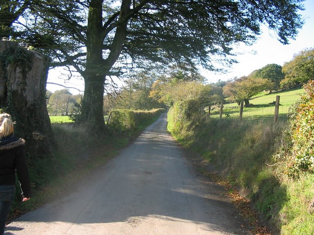
Image: © M Hunter Taken: 4 Nov 2006
The steeply sloping fields on the right lead up to Burley Down. This road is the main geographical feature in this grid square apart from the neighbouring wood at Burley Down. The lane appears exactly as you would see it walking on it and you can see that it slopes gently uphill.
Images are licensed for reuse under creativecommons.org/licenses/by-sa/2.0
Image Location
Latitude
50.656551
Longitude
-4.133774