The Crown at Upchurch Public House
Introduction
The photograph on this page of The Crown at Upchurch Public House by David Anstiss as part of the Geograph project.
The Geograph project started in 2005 with the aim of publishing, organising and preserving representative images for every square kilometre of Great Britain, Ireland and the Isle of Man.

There are currently over 7.5m images from over 14,400 individuals and you can help contribute to the project by visiting https://www.geograph.org.uk
The Crown at Upchurch Public House
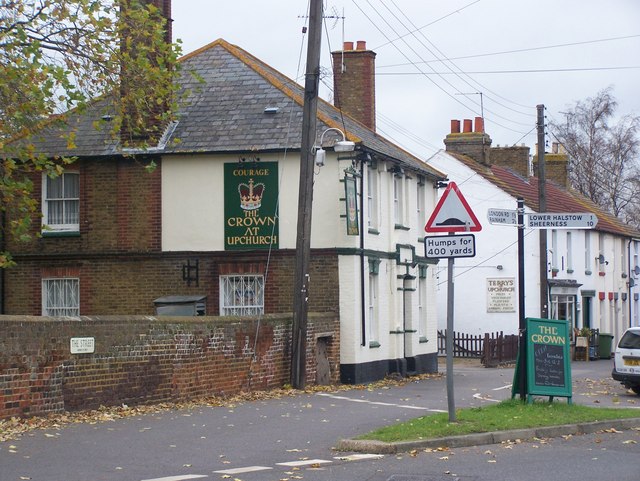
Image: © David Anstiss Taken: 16 Nov 2008
On junction of The Street and Forge Lane. Brick wall on left belongs to St Mary's Churchyard.
Images are licensed for reuse under creativecommons.org/licenses/by-sa/2.0
Image Location
Latitude
51.376862
Longitude
0.648612